About ACDSee Canvas 12 with GIS+
Canvas is the integrated application that accelerates your technical illustration workflow. Professionals in high tech environments that require accurate visualization of technical data rely on Canvas to collaborate and...
Canvas is the integrated application that speeds up and streamlines your technical illustration workflow. Professionals in high tech, complex environments that require accurate and powerful visualization of technical data rely on Canvas to facilitate collaboration and improve productivity.
Experience Canvas 12, the preferred solution for technical illustration in precision industries such as; aerospace and automotive, biotechnology and healthcare, education, government, manufacturing, oil, gas and energy, and technology.
Canvas GIS+ module, included in this evaluation version, offers a powerful set of GIS-based tools and commands that support all leading GIS formats, define complex map projections, and perform advanced property operations.
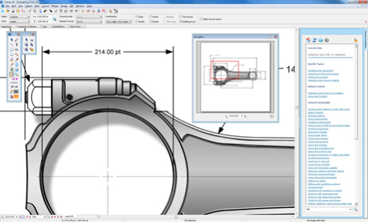
Canvas provides you with a single integrated software environment for technical illustration. With Canvas, you can work with both vector objects and raster images in the same document. And you have access to a larger range of enhancement tools for any kind of graphic, rather than being limited to certain enhancements on vector objects and others on raster images. As a Canvas user, you have the ultimate in flexibility, with the ability to import existing graphics from over a hundred different standard and specialized formats. Depending on your requirements and preferences, you can draw and edit either freehand or numerically for ultimate precision. Canvas also provides you with the ability to complete your workflow in one application, with its advanced text capabilities, as well as its set of tools for publishing, presenting and collaborating.
In specialized workflows that require high level format support and sophisticated methods of data acquisition, visualization and analysis, Canvas has the crucial ability to accurately measure, edit, and export digital images that contain up to 32 bits per channel of data.
Previous Versions
Here you can find the changelog of ACDSee Canvas 12 with GIS+ since it was posted on our website on 2015-04-24 03:00:00.
The latest version is 12.00.1389 and it was updated on 2024-04-23 08:39:49. See below the changes in each version.
ACDSee Canvas 12 with GIS+ version 12.00.1389
Updated At: 2010-10-15
Changes: 3D View, Geometric Import/Export, New Vector Drawing Tools, Automatic Flowcharting Tools, Symbol Pen
Disclaimer
External Download
We do not host ACDSee Canvas 12 with GIS+ on our servers. We did not scan it for viruses, adware, spyware or other type of malware. This app is hosted by the software publisher and passed their terms and conditions to be listed there. We recommend caution when installing it.
The external download link for ACDSee Canvas 12 with GIS+ is provided to you by apps112.com without any warranties, representations or guarantees of any kind, so access it at your own risk.
If you have questions regarding this particular app contact the publisher directly. For questions about the functionalities of apps112.com contact us.